history
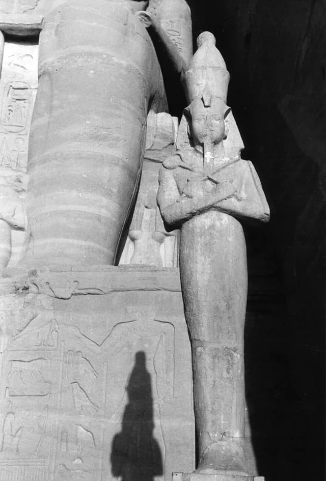
A giant temple taken apart and moved
The Abu Simbel temples in southern Egypt were moved to higher ground in the 1960s to save them from rising water behind the Aswan High Dam. Engineers took the temples apart and rebuilt them: even the enormous carved figures made the journey.
Source: UNESCO: Abu Simbel salvage · Accessed 2026-10-06
culture
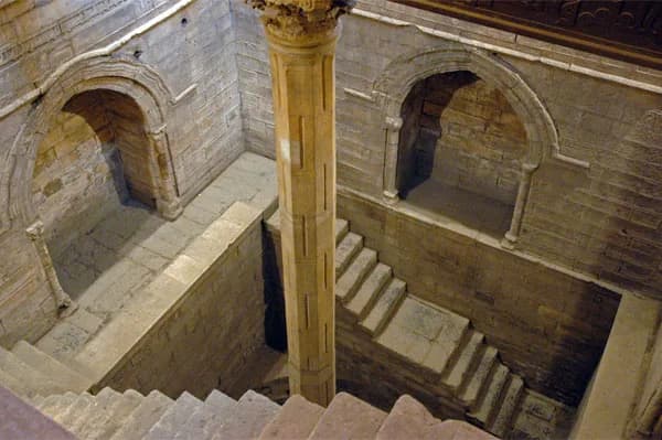
The river level helped decide the tax bill
Cairo’s Rawda Island nilometer measured the Nile’s flood level. The readings helped people prepare canals and embankments and set taxes, because the amount of floodwater affected how much food farms could grow.
Source: Egypt Ministry of Tourism and Antiquities: Rawda Island Nilometer · Accessed 2026-10-06
geography
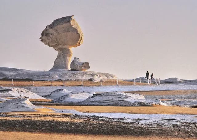
Wind sculpts pale rock into strange shapes
Egypt’s White Desert has pale chalk formations shaped by wind and sand. Some look like mushrooms, with broad tops above narrow stems: their unusual shapes were carved by erosion rather than built by people.
Source: Egyptian Environmental Affairs Agency: White Desert management plan · Accessed 2026-10-06