culture
A capital planned around two crossing routes
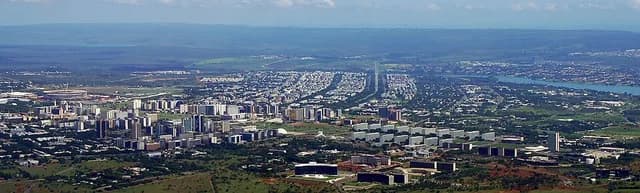
Brasília, Brazil’s capital, was planned around two main routes: a straight one lined with government buildings and a curved one serving residential neighbourhoods. From above, the original layout is often compared to a bird in flight, making a city plan into a memorable shape.
Source: UNESCO: Brasilia · Accessed 2026-10-06
nature
A wetland that changes with the seasons
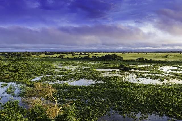
The Pantanal is a vast wetland region in west-central Brazil and neighbouring countries. Seasonal floods spread across the flat land; as the water recedes, temporary lakes remain. For wildlife, the same landscape can offer very different routes and feeding places through the year.
Source: UNESCO: Pantanal Conservation Area · Accessed 2026-10-06
history
The cable car climbs in two stages
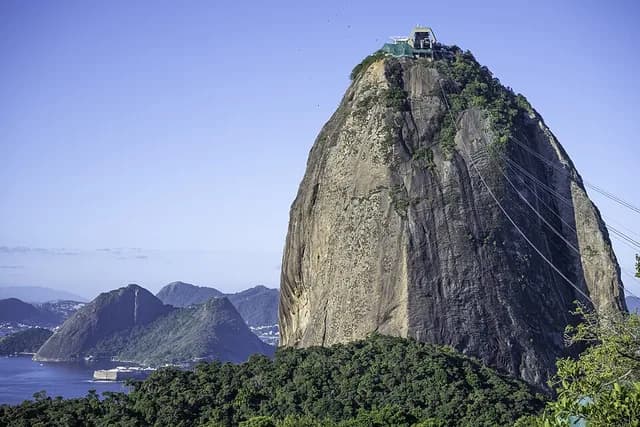
In Rio de Janeiro, Brazil, reaching Sugarloaf Mountain by cable car involves a stop on another hill, Morro da Urca. The first stage opened in 1912 and the second in 1913: the famous mountain journey was built as two separate climbs rather than one direct ride.
Source: Sugarloaf cable-car operator: History · Accessed 2026-10-06